

Key Takeaways
Phone Location Technology
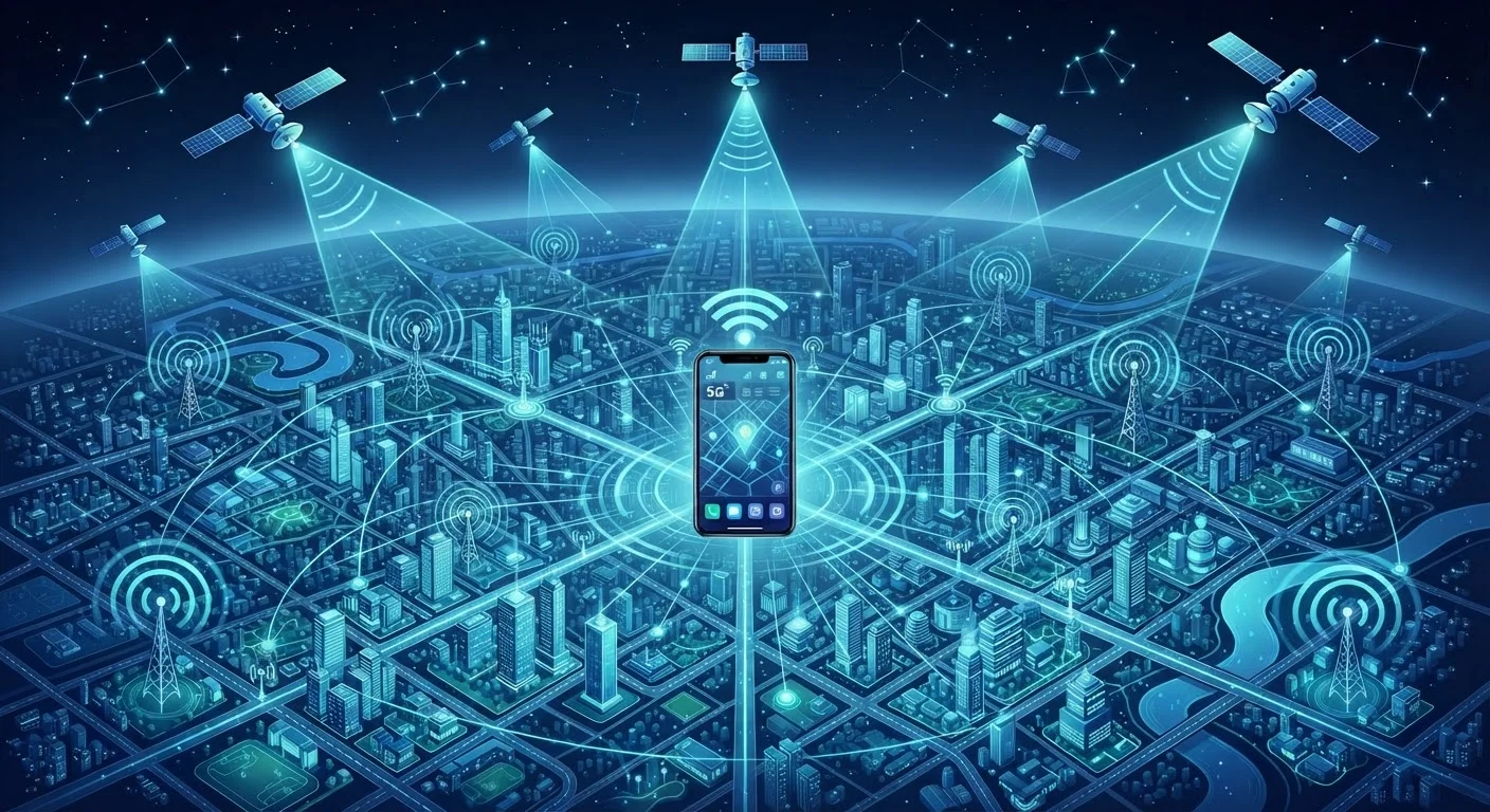
Your smartphone determines where it is by using one or more of three systems: GPS satellites orbiting Earth, cell towers on the ground, and nearby Wi-Fi networks. Each method has different strengths - GPS is most precise outdoors, while Wi-Fi and cell towers fill in when satellite signals are weak or absent. Your phone typically blends all three in real time to give you the most accurate position possible.
This blended approach is sometimes called "sensor fusion" or "hybrid positioning," and it is managed by a chip inside your phone called the GNSS (Global Navigation Satellite System) receiver alongside the device's operating system location manager.
GPS: Signals From Space
GPS - short for Global Positioning System - is a network of roughly 30 satellites maintained by the U.S. government, orbiting about 12,500 miles above Earth. Your phone has a small GPS receiver chip that listens for radio signals broadcast by those satellites.
Each satellite continuously transmits a signal that includes an extremely precise timestamp. By measuring how long each signal took to arrive, your phone can calculate how far it is from that satellite. With signals from at least four satellites, the receiver can pinpoint your position in three dimensions - latitude, longitude, and altitude - through a process called trilateration.
GPS is most accurate when you have an unobstructed view of the sky, typically reaching precision within about 10-15 feet under good conditions. Inside buildings, thick tree cover, or between tall buildings (sometimes called an "urban canyon"), satellite signals weaken or bounce unpredictably off surfaces, causing accuracy to drop significantly.
GPS Is Not the Only Satellite System
The United States GPS network is the most widely known, but other countries operate similar systems: Russia's GLONASS, Europe's Galileo, and China's BeiDou. Many modern smartphones include receivers that can use signals from multiple systems simultaneously, which improves both speed and accuracy - especially in challenging environments.
Cell Tower Triangulation: The Always-On Backup
Even when GPS is unavailable, your phone is always connected to the cellular network - and that connection itself provides a rough location estimate. Your carrier knows which cell towers your phone is communicating with at any given moment. By comparing the signal strength from multiple nearby towers, the network can estimate your position through a method called triangulation.
This approach is far less precise than GPS. In rural areas with sparse towers, it may only narrow your location to within a mile or more. In cities, where towers are densely packed, accuracy improves considerably - sometimes to within a few hundred feet. The main advantage is that it works almost everywhere your phone has a signal, including deep indoors, without draining extra battery.
“Location is the foundational layer of context for mobile computing. Without it, most of what makes smartphones genuinely useful simply doesn't work.”
— Tim Sprinkle, Technology writer and author covering mobile and wireless communications
Wi-Fi Positioning: Smarter Than It Looks
Wi-Fi positioning may be the least understood of the three methods, yet it's often remarkably accurate in urban environments. It works by comparing the Wi-Fi networks your phone can detect around you - their names and signal strengths - against a large crowd-sourced database that maps router locations.
Companies build these databases by recording which Wi-Fi networks were visible at known GPS coordinates over time. When your phone sees three or four recognizable networks and their relative signal strengths, it can estimate your position with surprising precision - often within 15-40 meters - without actually connecting to any of those networks.
This is why your phone can show a reasonably accurate location inside a shopping mall or airport even when GPS is completely blocked. For more on how Wi-Fi signals behave, see our plain-language Wi-Fi explainer.
~10-15 ft
Typical GPS accuracy in open sky conditions
According to the U.S. government's official GPS resource (gps.gov), civilian GPS receivers are generally accurate to within about 4.9 meters (roughly 16 feet) under open sky.
30+
GPS satellites currently in orbit
The GPS constellation maintained by the U.S. Space Force consists of at least 24 operational satellites, with additional satellites providing redundancy and coverage.
15-40 m
Typical Wi-Fi positioning accuracy in urban areas
Research into Wi-Fi-based indoor positioning systems suggests accuracy in the range of 15 to 40 meters in dense urban environments, depending on database quality.
How Your Phone Blends All Three
Your smartphone doesn't choose just one method and stick with it. The operating system's location manager continuously weighs available signals and blends them in real time - a process sometimes called sensor fusion. When you step outside, GPS quickly takes the lead. Walk inside a building and the phone smoothly transitions to Wi-Fi and cell tower data, often so quickly you don't notice the shift.
Modern phones also use the accelerometer, gyroscope, and barometric pressure sensor to help smooth out location estimates between updates - a technique called dead reckoning. If your phone knows you were walking north at a certain speed, it can make a reasonable guess about where you are a few seconds later, even if the GPS signal briefly drops.
Understanding this layered system is useful context any time you're wondering why an app seems to know your location so quickly - or why it occasionally gets things wrong. The same technology that powers navigation apps is also explored in our piece on how your phone processes everything you do.
Extend Battery Life With Location Settings
Most smartphones let you choose between a high-accuracy mode (uses GPS, Wi-Fi, and cellular together) and a battery-saving mode (relies on Wi-Fi and cellular only). If you don't need precise GPS - for example, when checking a weather app - battery-saving mode can meaningfully reduce power consumption without noticeably affecting your experience.