

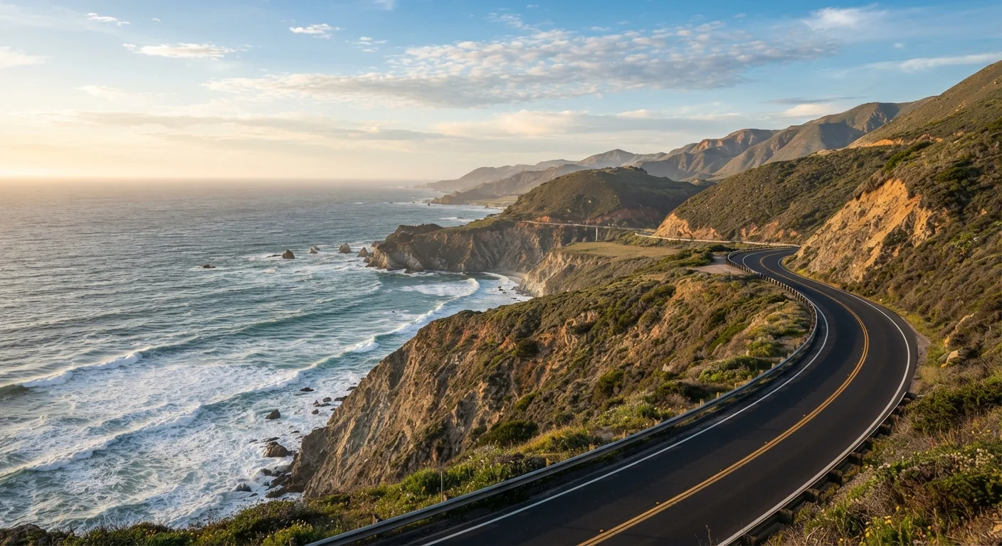
Key Takeaways
What the PCH Actually Is (and Isn't)
The term "Pacific Coast Highway" gets used loosely. Technically, PCH refers to California State Route 1, a designated highway that runs along much of California's coastline. Drivers typically treat the road trip version as the corridor from San Diego in the south to Leggett in Northern California - roughly 650 miles where Highway 1 either hugs the coast directly or connects to US-101 through inland stretches.
It is not a continuous oceanfront road from Mexico to Canada. Sections near Los Angeles, for example, blend into urban surface streets. The highway dips inland through the Central Coast and merges with US-101 north of San Luis Obispo before returning to the coast. Knowing this prevents the disappointment of expecting uninterrupted cliffside drama for every mile.
For a broader comparison of coastal road trips across the country - including how the PCH stacks up against the Northeast's coastal routes - see our look at Maine's coastal drive.
Distance, Drive Time, and Realistic Pacing
The roughly 650-mile route could theoretically be driven in a single long day - but doing so would mean experiencing almost none of it. A realistic pace for most travelers is 5 to 7 days, allowing time to stop, walk, eat, and actually absorb the landscape rather than just log miles.
~650 mi
PCH route length (San Diego to Leggett)
The commonly driven corridor of Highway 1, based on standard route mapping of the California coast.
5-7 days
Recommended minimum drive time
Widely cited by travel guides and experienced PCH drivers as the minimum needed to experience major stops without rushing.
90 mi
Length of the Big Sur coastline
Big Sur stretches approximately 90 miles and is the most frequently cited reason travelers undertake the trip.
A rough daily breakdown that works for many travelers:
- Day 1-2: San Diego up through Los Angeles and Malibu
- Day 3: Santa Barbara to San Luis Obispo
- Day 4: San Luis Obispo through Cambria and into Big Sur
- Day 5-6: Big Sur, Carmel, and Monterey
- Day 7: Santa Cruz north toward San Francisco
This isn't a prescription - it's a rough framework. Some travelers linger in Big Sur for two nights; others push through quickly. If you're building this trip from scratch, our complete trip-planning walkthrough covers how to structure an itinerary around your actual travel style.
Road Conditions and What to Watch For
The PCH's most spectacular section - Big Sur - is also its most unpredictable. The cliffs that make the drive jaw-dropping also make the road vulnerable to landslides, rockfalls, and erosion. Closures happen, sometimes for weeks or months at a time. Before departure, check Caltrans (California Department of Transportation) for current road conditions and any active closures.
Check Road Closures Before You Leave
Big Sur sections of Highway 1 have closed for extended periods due to landslides and storm damage - sometimes with little advance notice. Always check Caltrans road conditions (dot.ca.gov) within 24-48 hours of your planned drive through the area. Have an inland alternative via US-101 mentally mapped before you go.
Outside Big Sur, the road is generally well-maintained. A few practical notes:
- Fog: Common in summer, especially mornings along the Central and Northern California coast. It typically burns off by midday but can reduce visibility significantly.
- Two-lane sections: Much of the most scenic road is a single lane in each direction with no shoulders. Passing opportunities are limited; tailgating is common and stressful.
- Cell service: Patchy through Big Sur and stretches of the Northern California coast. Download offline maps before you leave.
The Standout Stops Worth Slowing Down For
Every traveler will build their own list, but certain spots earn consistent mention for genuinely good reasons:
- Malibu / Point Dume: A rare chance to walk down to a wide beach with impressive bluffs. The surrounding area also gives a realistic sense of how the PCH functions through LA's sprawl.
- Santa Barbara: Spanish Colonial architecture, a relaxed downtown, and beaches that face south (meaning more sun, less fog). A strong overnight stop.
- Elephant Seal Vista Point (near San Simeon): Free to visit, unexpectedly dramatic. Hundreds of elephant seals hauled out on the beach year-round.
- Big Sur: Bixby Creek Bridge, McWay Falls, Pfeiffer Beach - the core of what most people picture when they imagine the PCH.
- Carmel-by-the-Sea: A small, walkable town with a genuinely beautiful white-sand beach. Worth a slow afternoon.
- 17-Mile Drive (Pebble Beach): A private toll road through Monterey Peninsula coastal scenery - scenic but not free.
Pull over at every turnout in Big Sur that looks interesting - you almost certainly can't turn around and come back easily in traffic. If it looks worth stopping for, stop now.
The two-lane road and limited turnaround points mean missed pullouts are genuinely hard to revisit, especially in peak-season traffic.
Book your Big Sur accommodation at least three to four months ahead if you're traveling May through September - treat it like a national park reservation, not a hotel reservation.
Lodging options within Big Sur proper are extremely limited, and the most-sought sites and rooms fill far earlier than travelers typically expect.
What the Drive Feels Like Day to Day
Here's what first-timers often don't anticipate: the PCH is slow. Not frustratingly slow - purposefully slow. The two-lane road, the pullouts, the traffic in peak season, and the sheer number of things worth stopping for mean you cover fewer miles per hour than you expect. Factor this into your scheduling.
Northbound versus southbound is a real choice. Driving northbound (San Diego to San Francisco) puts you on the ocean side of the road for most of the route, giving the driver direct views. Southbound reverses this, handing the ocean views to the passenger. Neither is objectively better - it depends on who's driving and what matters to your group.
If you're weighing the PCH against flying to your destination and renting a car or sticking to one end, our piece on road trip vs. flying costs walks through how to calculate what each option actually runs.
Practical Logistics Before You Go
A few specifics worth nailing down before departure:
- Accommodation: Campgrounds and lodges in Big Sur book out months in advance in summer. The same is true for popular Airbnb and hotel options in Carmel and Santa Barbara. Book early or adjust your timing.
- Fuel: Gas stations thin out significantly in Big Sur. Fill up in San Luis Obispo, Cambria, or Carmel before entering the corridor - and don't count on finding a pump mid-stretch.
- Vehicle: A standard car handles the entire route fine. High-clearance vehicles aren't needed. RVs can navigate it but face width restrictions on some sections and very limited RV-friendly camping near Big Sur.
- Season: Summer brings crowds and coastal fog. Spring (April-May) offers wildflowers and manageable traffic. Fall is widely considered the clearest and most comfortable season. Winter is quieter but carries higher closure risk.
Travel in Fall for the Best Conditions
September through November offers the clearest skies, warmest ocean air, and noticeably lighter traffic compared to the summer peak. The fog that blankets the coast in July and August largely dissipates, making fall widely regarded as the most visually rewarding time to drive the route.
For everything from researching a destination to locking in logistics, see our end-to-end trip planning resource - it covers the full arc of planning a trip like this from the first idea to the final day.